Traveling, whether for daily commutes, road trips, or international adventures, often comes with one common challenge: stressful navigation. Traffic jams, missed turns, and inefficient routes can make journeys frustrating.
Thankfully, with modern route planning apps, maps, and wayfinding strategies, navigating has never been easier.
In 2025, travelers have access to intelligent solutions combining real-time data, offline capabilities, AI-driven suggestions, and personalized navigation. This article explores the best apps, maps, and tips for stress-free route planning.
Why Route Planning Matters
Effective route planning helps save time, reduce fuel costs, minimize stress, and enhance safety. According to recent studies, drivers spend an average of 97 hours per year in traffic congestion, translating into wasted fuel and increased carbon emissions.
Using the right navigation tools can cut this time by up to 30%, improve punctuality, and provide alternative paths during unforeseen delays.
Key benefits of stress-free route planning include:
- Time efficiency: Find the fastest routes and avoid congestion.
- Cost savings: Optimize fuel usage with minimal detours.
- Safety: Prevent last-minute lane changes and risky maneuvers.
- Reduced stress: Receive real-time updates and alerts for smoother journeys.
Top Route Planning Apps in 2025
Modern apps combine GPS navigation, real-time traffic data, and AI-powered suggestions to make traveling seamless. Here’s a detailed table of the best apps in 2025:
| App Name | Key Features | Platforms | Cost | Special Highlights |
|---|---|---|---|---|
| Google Maps | Real-time traffic, route optimization, public transport, street view | iOS, Android, Web | Free | Offers AI-powered suggestions for faster routes and integrates with local transit |
| Waze | Community-based traffic alerts, road hazard reporting, voice-guided navigation | iOS, Android | Free | Uses crowd-sourced data for real-time traffic updates |
| Apple Maps | Turn-by-turn navigation, real-time traffic, AR walking directions | iOS | Free | AR features for pedestrians and enhanced indoor navigation in malls and airports |
| HERE WeGo | Offline maps, public transit info, turn-by-turn directions | iOS, Android | Free | Offline maps suitable for international travel |
| MapQuest | Route planning, traffic updates, fuel cost estimator | iOS, Android, Web | Free | Offers multi-stop route optimization |
| Komoot | Cycling and hiking route planner, offline maps, terrain details | iOS, Android | Free with in-app purchases | Popular among outdoor enthusiasts for trail planning |
| Sygic GPS Navigation | Offline maps, speed limit warnings, lane guidance | iOS, Android | Free with premium features | Uses TomTom maps and offers advanced navigation options |
| Scout GPS | Social navigation, road alerts, trip sharing | iOS, Android | Free | Designed for urban commuting and carpooling coordination |
Features to Look for in Route Planning Apps
When selecting an app for stress-free route planning, consider these features:
- Real-time traffic updates: Apps should alert you about congestion, accidents, and construction.
- Offline maps: Essential for areas with poor connectivity, especially during international travel.
- Multi-stop route planning: Helps optimize trips with multiple destinations.
- Integration with local transit: Some apps include buses, trains, and ferries in route planning.
- Customization options: Allow users to avoid tolls, highways, or certain road types.
- AI-assisted suggestions: Predict traffic patterns and suggest optimal departure times.
- Accessibility features: Voice-guided navigation, large-font displays, and AR assistance.
Wayfinding Tricks for Stress-Free Travel
Beyond apps, knowing wayfinding strategies can significantly improve your travel experience.
1. Plan Ahead
- Check traffic forecasts before leaving.
- Identify alternative routes for emergencies.
- Use multi-stop planning for errands or road trips.
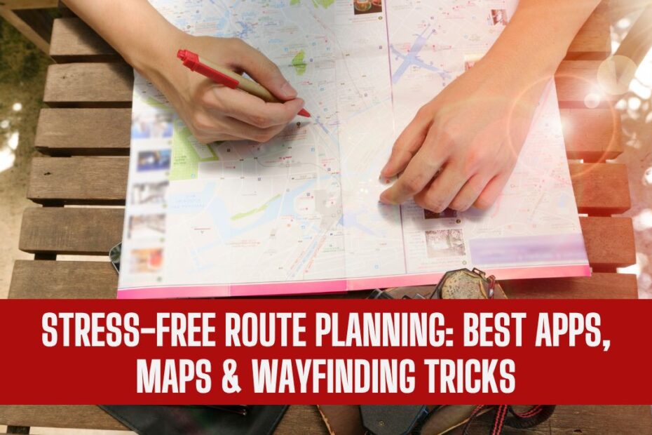
2. Combine Digital and Physical Maps
- Keep a paper map as a backup in case of connectivity issues.
- Note key landmarks to navigate even without GPS.
3. Leverage AI Recommendations
- Apps like Google Maps and Waze suggest departure times to avoid rush hours.
- AI can estimate fuel consumption and suggest refueling stops.
4. Optimize Multi-Destination Trips
- Apps like MapQuest and Sygic optimize multi-stop routes, reducing travel time and fuel use.
- Use drag-and-drop features in apps to reorder stops efficiently.
5. Learn Local Road Rules
- Knowledge of toll roads, speed limits, and local driving laws helps prevent fines and unnecessary delays.
- Some apps show toll costs in real-time for better budgeting.
Best Maps for Specific Travel Needs
Not all maps are created equal. Depending on travel style, different options work best.
| Travel Type | Recommended Maps | Benefits |
|---|---|---|
| Urban Commute | Google Maps, Apple Maps | Real-time traffic alerts, public transit integration |
| Road Trips | Waze, HERE WeGo | Crowd-sourced traffic data, offline capabilities |
| Hiking/Cycling | Komoot, Gaia GPS | Terrain details, offline trail maps |
| International Travel | HERE WeGo, Maps.me | Offline maps, multi-country coverage |
| Commercial/Fleet Use | Sygic Truck GPS, TomTom | Truck routing, weight and height restrictions, fleet management |
Emerging Technologies in Route Planning
- Augmented Reality (AR) Navigation
- Provides overlays on your smartphone camera for pedestrian and urban navigation.
- Apple Maps’ AR walking directions improve wayfinding in complex urban areas.
- AI-Powered Predictive Routing
- Analyzes historical traffic and real-time data to suggest the fastest routes.
- Helps users avoid unpredictable traffic patterns.
- Integration with Smart Vehicles
- Navigation apps now connect with car infotainment systems.
- Features include hands-free operation, voice commands, and live traffic updates.
- Offline Smart Maps
- Advanced offline maps use vector data for smoother zooming and detailed offline routing.
- Apps like HERE WeGo and Komoot excel in this feature.
Comparison of Features Across Apps
| Feature | Google Maps | Waze | Apple Maps | HERE WeGo | Sygic |
|---|---|---|---|---|---|
| Real-time traffic | Yes | Yes | Yes | Yes | Yes |
| Offline maps | No | No | Limited | Yes | Yes |
| Multi-stop planning | Yes | Limited | No | Yes | Yes |
| AI Suggestions | Yes | No | Yes | No | Yes |
| AR Navigation | No | No | Yes | No | No |
| Public Transit | Yes | No | Yes | Yes | No |
| Premium/Ad-free | No | No | No | No | Yes |
Tips for Efficient Wayfinding
- Set departure notifications: Alerts for traffic congestion and ETA changes.
- Use landmarks and street names: Helps navigate areas with poor GPS reception.
- Regularly update maps and apps: Ensures access to the latest road data.
- Avoid over-reliance on GPS: Always have backup plans for road closures.
Stress-free route planning is now within reach thanks to innovative apps, advanced maps, and effective wayfinding strategies. Whether commuting, traveling for leisure, or embarking on outdoor adventures, selecting the right app, staying informed, and planning your routes can save time, reduce stress, and improve safety.
Combining digital tools, offline backups, and smart wayfinding tips ensures a smooth journey every time. As technology advances, the integration of AI, AR, and smart vehicle connectivity promises an even more seamless navigation experience.
FAQs
For offline and multi-country coverage, HERE WeGo and Maps.me are ideal due to their offline capabilities and extensive map databases.
Yes. By using optimized routes and avoiding congestion, apps like Google Maps and Sygic can save up to 15–20% in fuel costs during long trips.
Yes. Apps like Komoot and Gaia GPS provide offline trail maps, terrain details, and route optimization specifically for outdoor activities.